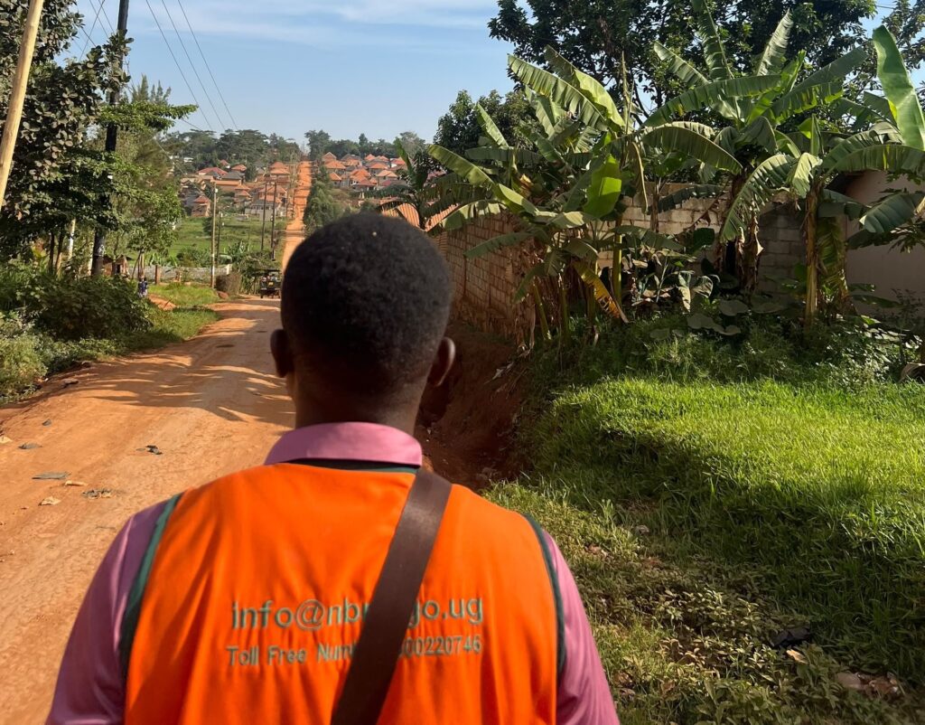
Over 20,000 buildings have now been assessed under the government’s earthquake resilience programme, as the exercise moves beyond Greater Kampala into other parts of the country.
The Rapid Visual Screening (RVS) Programme, led by the National Building Review Board (NBRB), checks buildings for seismic vulnerability and compliance with building safety requirements.
The first phase screened about 5,000 buildings in Kampala. The exercise then extended to the wider Greater Kampala Metropolitan Area, including Kira, Wakiso, Entebbe, Makindye Ssabagabo, Mukono and Mpigi.
The exercise is part of government efforts to strengthen preparedness for earthquakes, improve compliance with building regulations and identify structures that may need further investigation, intervention or retrofitting.
Presidential directive
The exercise follows President Yoweri Museveni’s Executive Order No. 1 of 2023, which called for stronger national preparedness against earthquake hazards. The directive provides for nationwide building safety audits, earthquake-resistant building standards, assessment and retrofitting of vulnerable buildings, and stronger disaster preparedness and response systems.
How the screening works
RVS is an initial assessment based on visible characteristics and other relevant information. It is not a detailed structural investigation. It lets authorities screen large numbers of buildings quickly and flag those that need closer technical assessment.
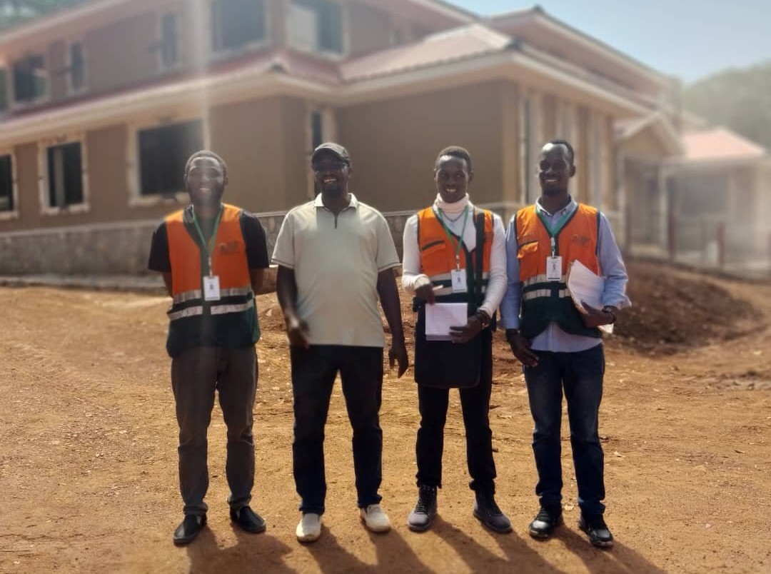
Trained graduate trainees from universities work as screeners under the supervision of the NBRB, Building Committees and Building Control Officers.
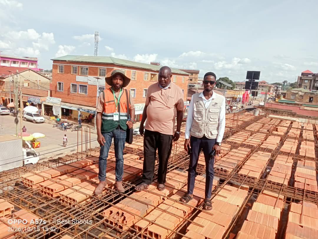
They use an RVS checklist and a Compliance Monitoring Tool to record the condition of buildings and their compliance with Uganda’s building control laws.
The process includes structured interviews with developers, caretakers and site supervisors, visual inspections, a review of available construction documents, and door-to-door surveys at parish and ward level.
The information is regularly reviewed, independently validated and checked in the field to improve its reliability.
Why it matters
Uganda lies within the active East African Rift System. Seismic activity is influenced by geological structures including the Katonga Belt, the Rwenzori Fold Belt and the Aswa Shear Zone.
Western Uganda has historically recorded the most earthquake activity, but tremors elsewhere show the risk is not confined to the west.
Past earthquakes include the destructive 1966 Tooro earthquake and the 1994 Kisomoro earthquake, which caused deaths, injuries, destroyed buildings and caused major economic losses.
More recently, a magnitude 4.4 earthquake near Nakasongola on 31 May 2026 was felt in Kampala, Lira, Apac, Gulu, Masindi, Luwero, Wakiso, Mbale, Jinja and areas around Lake Kyoga.
Preliminary assessments reported no significant damage or loss of life.
A national database
The exercise will build a nationwide database on the vulnerability of buildings. This will identify areas that need detailed structural assessments and guide targeted action such as enforcement, strengthening and retrofitting.